We have a wide selection of framed antiquarian maps from the 17th, 18th and 19th centuries. These beautifully preserved artifacts provide a wonderful visual centerpiece for your home or office. Maps of european entities provide a special sense of connection to your heritage and maps of wisconsin provide a sense of the wonderful state we call home. Come in and shop these unique artistic pieces for yourself or as a gift. Below are a few examples from our inventory.
18th century europe
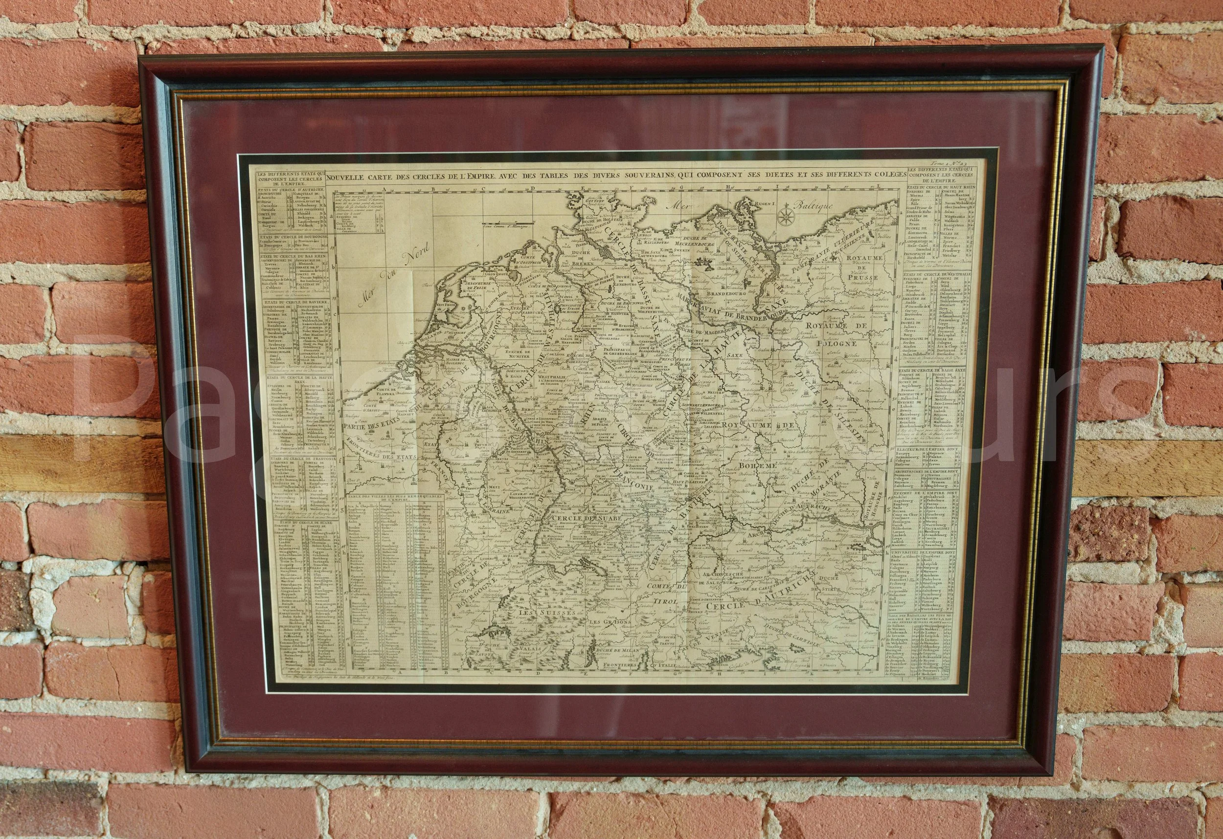
Nouvelle Carte Des Cercles
De L’Empire Aven Des Tables Des Divers Souverains
Translation: New Map of the Circles
of the [Holy Roman] Empire, with Tables of the Various Sovereigns
Map Maker: Chatelain
Circa 1720
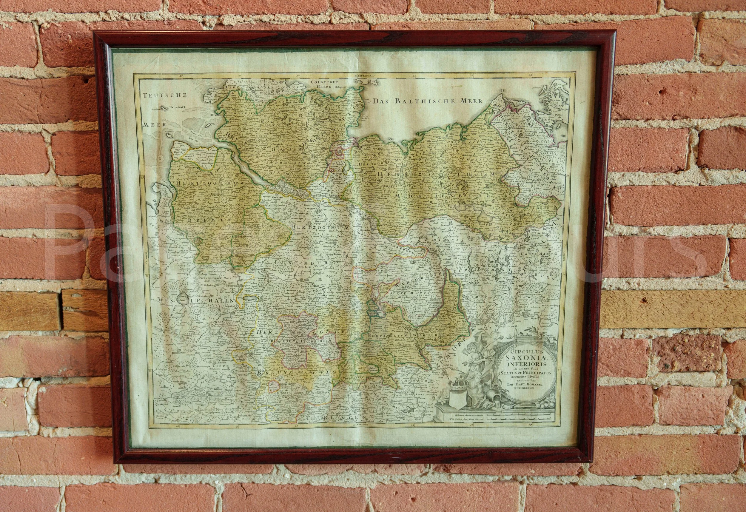
Germanic Entities
Circulus Saxoniae Inferiores
Map Maker: Homann
(Lower Saxon Circle - An administrative region of the Holy Roman Empire)
Circa 1720
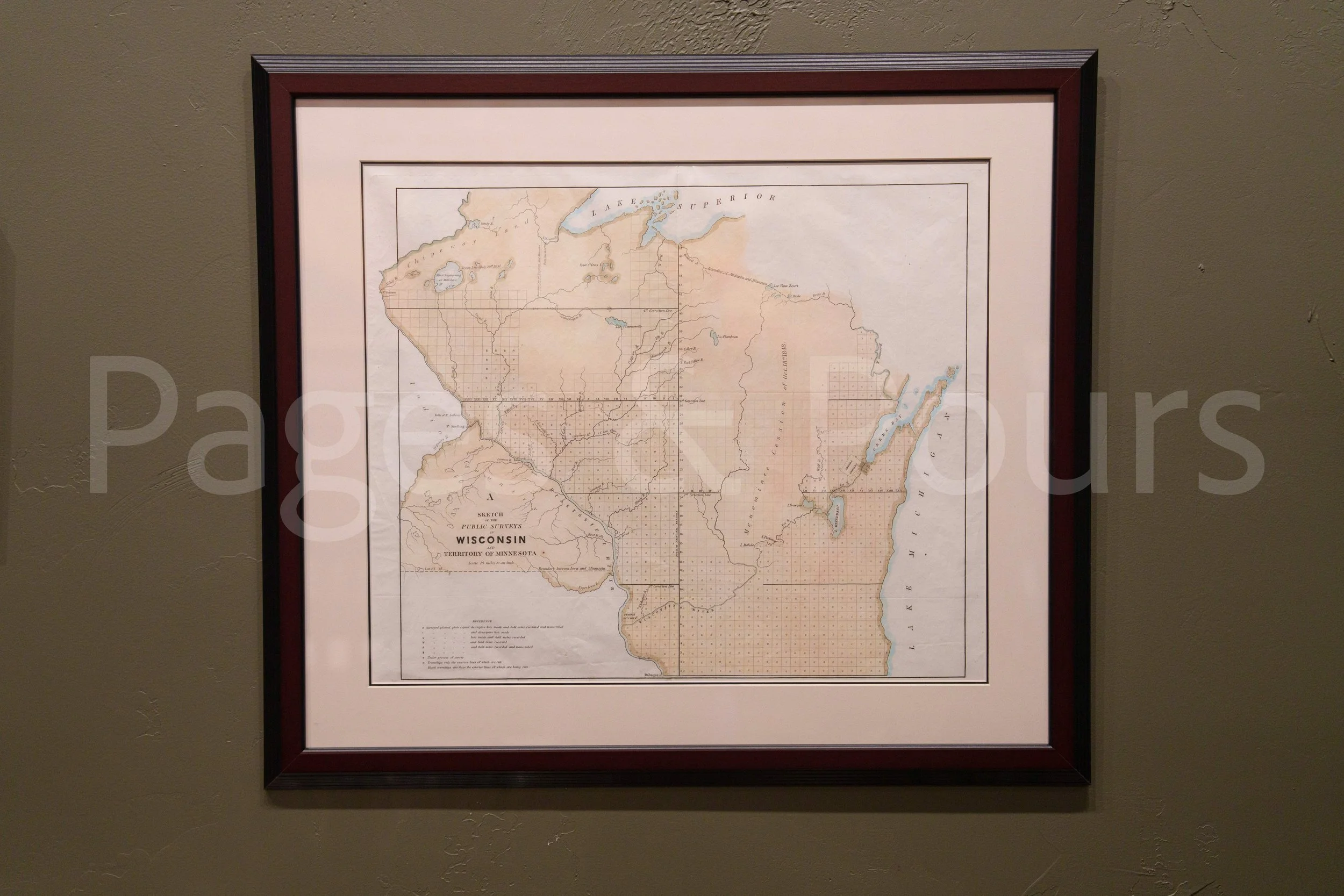
Antique Maps of Wisconsin
Beautifully preserved and framed. These maps demonstrate the formation of Wisconsin from territory to state and its relationship to first nations and other territories and states.